Quick summary
- Ancient kurgans dot the Zhalanash steppe along your route, silent markers of nomadic history spanning millennia on the plateau.
- The valleys you traverse once carried trade caravans across Central Asia, connecting empires through mountain passes and open grassland.
- Settlements of these distinct ethnic groups appear throughout the journey, preserving cultural traditions in the high steppe landscape.
- Saty village marks the last inhabited settlement before reaching the lakes, offering a glimpse into mountain life and local hospitality.
- Horse herds graze freely across seasonal pastures, reflecting the pastoral traditions that shaped life in these valleys for centuries.
Crossing the Steppe: A Route Through Central Asian History
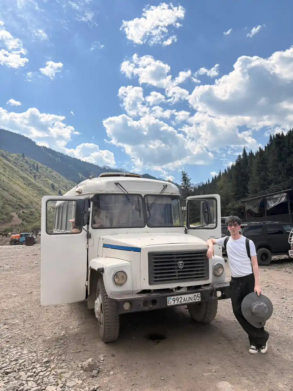
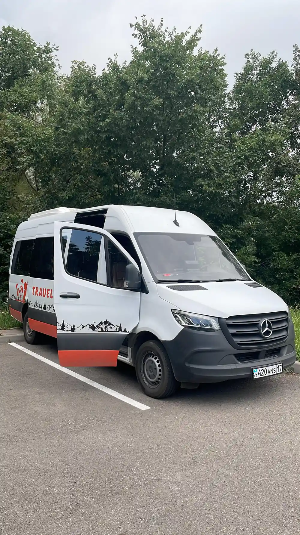
The 17-hour journey from Almaty traces an ancient corridor where empires and trade routes intersected. Your minibus crosses the high steppe plateau, passing through valleys that once channeled Silk Road caravans between China and the markets of Central Asia. The landscape itself tells the story: rolling grasslands give way to mountain approaches, with villages scattered along the way that have maintained their character for centuries. Watch from your window as the terrain shifts from open steppe to alpine valleys, each transition marking a chapter in the region's long history of commerce, migration, and settlement.
The route passes through settlements whose names and layouts reflect centuries of nomadic and settled life. These communities were positioned strategically along seasonal migration routes, where nomadic herds moved between summer and winter pastures. The steppe you traverse was not empty wilderness but a carefully managed landscape, divided into zones for different uses depending on the time of year. Understanding this seasonal rhythm of movement and settlement gives meaning to the villages, burial sites, and pasture lands you see unfold.
The Saka Burial Mounds: Monuments of the Ancient Steppe
Beside the road rise earthen mounds that mark the graves of the Saka people, a nomadic warrior culture that dominated these grasslands over two thousand years ago. These burial sites are not random: they were positioned to be visible across the steppe, serving as landmarks and monuments to the dead. The Saka were skilled horsemen and craftspeople whose gold and metalwork reveals a society of considerable sophistication. When archaeologists have excavated these mounds, they have found weapons, ornaments, and ceremonial objects that demonstrate the wealth and status of those buried within.
These ancient monuments persist in the modern landscape as reminders of a world before sedentary empires. The Saka left no written records, so their burial practices and the objects placed beside them are among the primary sources historians use to reconstruct their lives. The visibility of these mounds from the road allows you to observe how the ancients marked their territory and commemorated their leaders. Each mound represents not just an individual but a moment when the steppe was ruled by peoples whose name is now known mainly through archaeology.
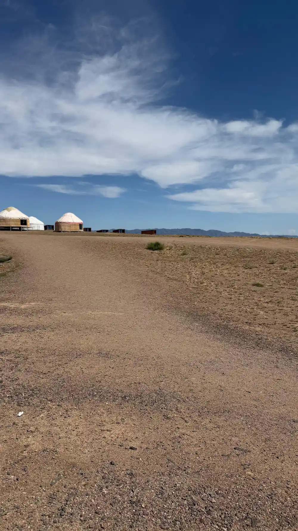
Nomadic traditions endure on the Zhalanash steppe
Uyghur and Dungan Communities: Minority Cultures of the Mountains
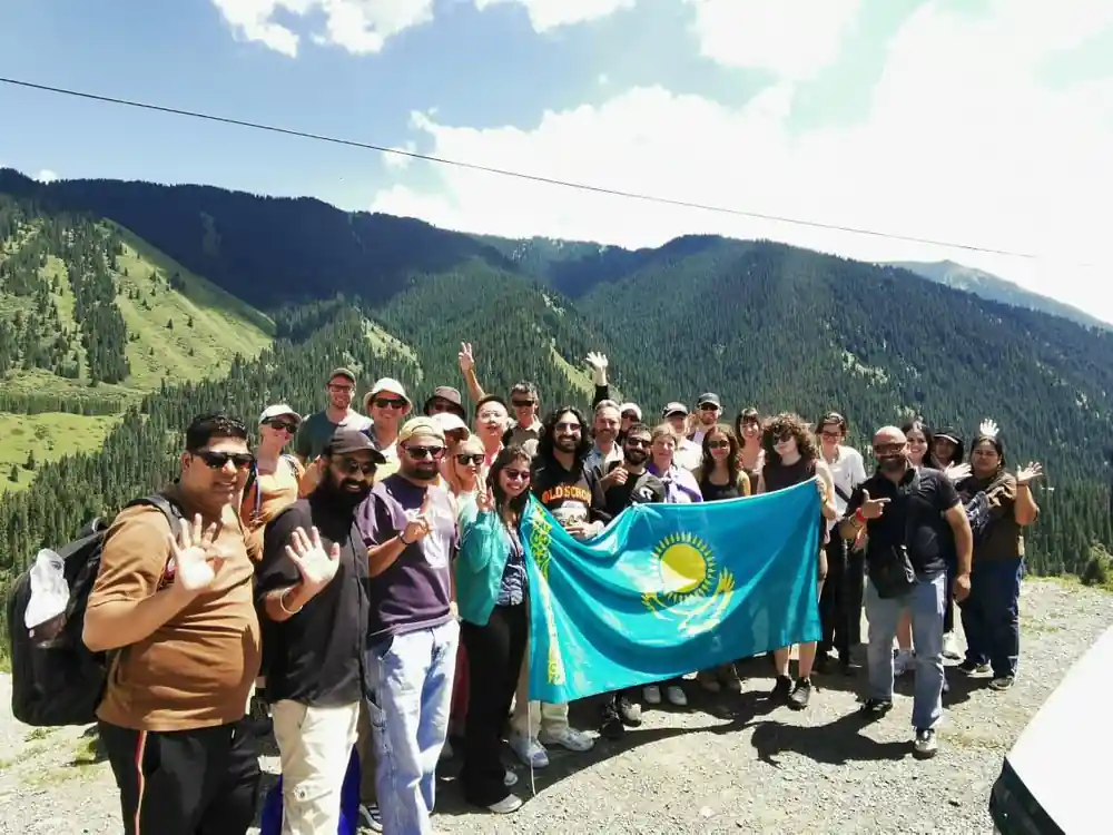
The valleys and villages along your route are home to Uyghur and Dungan populations, ethnic minorities with distinct languages, traditions, and histories in Kazakhstan. The Uyghurs are a Turkic people whose presence here reflects centuries of migration and settlement from the Xinjiang region to the east. The Dungans are Muslims of Chinese origin, descendants of communities that migrated northward in the 19th century. Both groups have preserved their cultural identity while adapting to life in the mountain valleys and high steppe, where isolation historically helped maintain their distinct ways of life.
These communities have shaped the character of the settlements you pass, their architecture, food cultures, and social structures reflecting their origins and the environments they inhabit. Visiting villages with these populations offers insight into how minority cultures persist and adapt within larger nations. The presence of multiple ethnic groups across the region demonstrates the complexity of Central Asian history, where migration, trade, and political upheaval have created a mosaic of peoples living alongside one another.
Village Life in the Mountains: Daily Rhythms of Saty
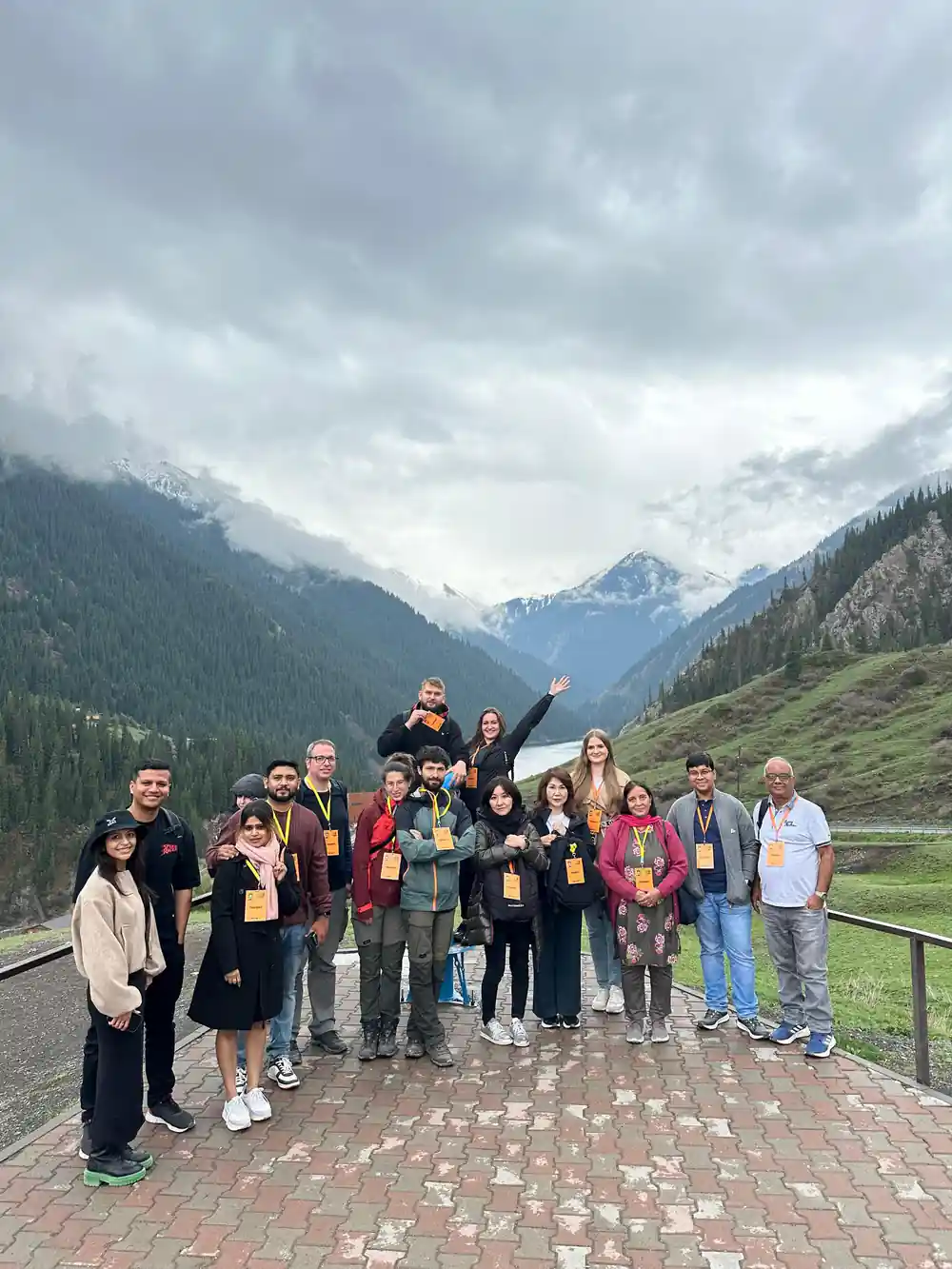
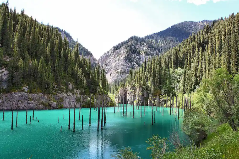
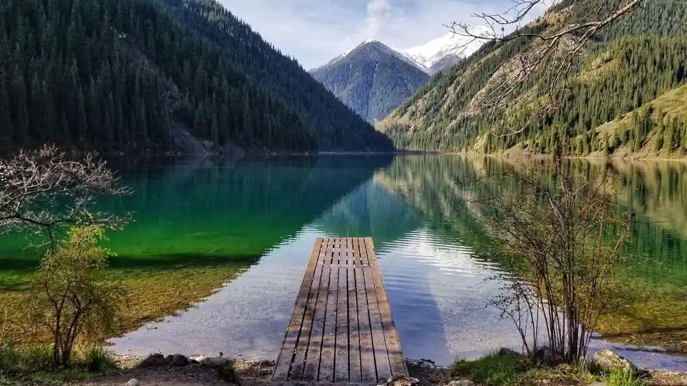
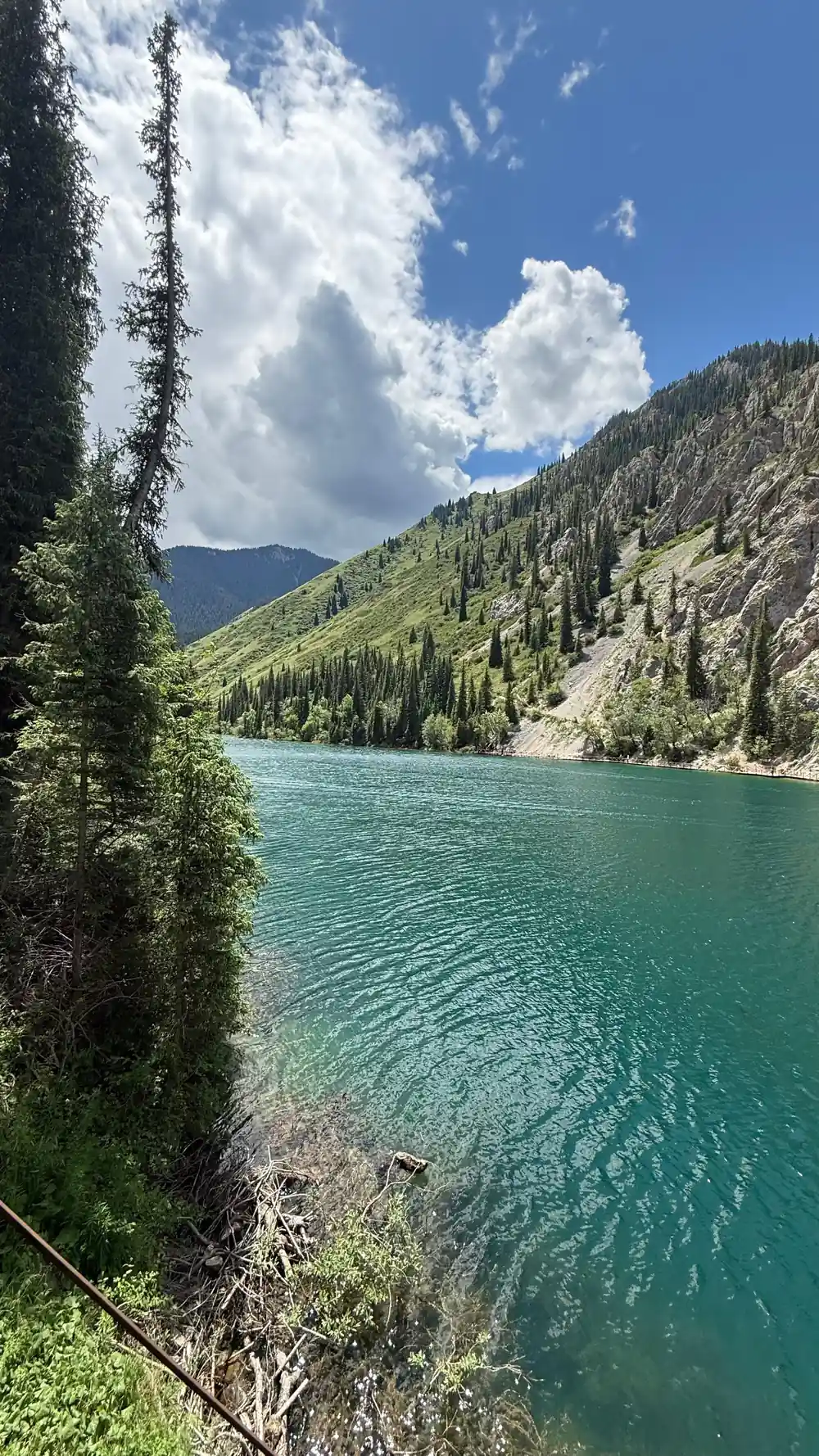
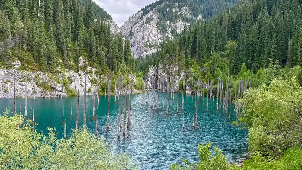
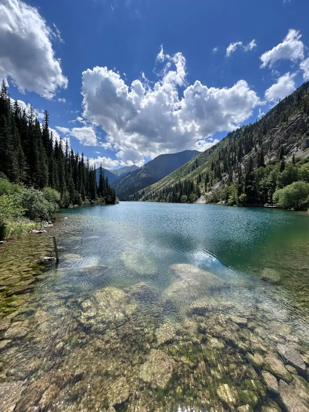
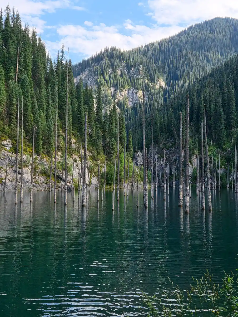
At the terminus of your journey lies Saty, a mountain village that exemplifies high-altitude settlement in the Tian Shan range. This community exists at the intersection of pastoral and settled lifeways, where residents combine small-scale agriculture with herding and forestry. The village is positioned near the transition zone between steppe and alpine forest, giving it access to diverse resources. From Kaindy lake to Saty village, the landscape grows increasingly forested and rugged, and the settlement patterns reflect adaptation to these steeper, more challenging conditions.
Daily life in Saty revolves around the seasons. Summer brings intensive agricultural work and herding to high pastures, while winter forces a more inward focus on stored provisions and indoor activities. The village itself maintains traditional building styles suited to heavy snow and cold temperatures, with houses designed to retain heat and shed avalanche risk. Your arrival at the village offers an opportunity to observe contemporary mountain life and the practical knowledge required to sustain a community in this environment, knowledge passed down through generations.





Horse Herds and Seasonal Pasture Systems
Across the steppe and valleys, herds of horses move seasonally between pasture zones, a practice that has structured land use for millennia. What appears to the casual observer as empty grassland is in fact a managed resource, divided among communities and families according to seasonal suitability. Summer pastures lie at higher elevations where snow melt feeds abundant grasses, while winter pastures occupy lower valleys protected from the worst weather. The presence of horse herds everywhere on the plateau reflects this ancient system, still actively practiced by herders who understand the landscape's capacity and the animals' needs.
The horses you see are not wild but managed livestock, essential to the pastoral economy and deeply embedded in the cultural practices of the region. Herders use intimate knowledge of the terrain to move their animals to optimal grazing at different times of year, a practice that requires understanding water sources, grass growth patterns, and weather patterns. This seasonal movement, called transhumance, shapes the distribution of settlements and the organization of land across the entire region. The survival of this system demonstrates how traditional practices remain viable when they are understood and valued by the communities that depend on them.
The Zhalanash Steppe: Named by History and Geography
The Zhalanash steppe derives its name from historical events and geographical features now embedded in local memory and language. Place names across Central Asia often encode information about events, founders, or geographical characteristics that were meaningful to the people who named them. The name Zhalanash carries significance in Kazakh linguistic and cultural tradition, though its exact etymology reflects debates among scholars. What is certain is that the landscape itself, with its particular combination of elevation, moisture, vegetation, and accessibility, made it a notable location in the mental maps of the herders and travelers who moved across this region.
The steppe's character changes subtly across its expanse, and the naming of these zones reflects practical knowledge about where to find water, shelter, and good pasture. Historical caravan routes followed corridors defined by these natural features, connecting named locations that became famous waypoints. Understanding the significance of place names deepens your appreciation for how the landscape was perceived and utilized by those who lived there, and how that perception shaped the routes and settlements that still exist today.
Nomadic Land Use: The Seasonal Organization of Space
Nomadic and semi-nomadic peoples organized their relationship to the landscape through seasonal movement, dividing territories into zones for specific times of year. Summer camps occupied high mountain valleys where alpine meadows provided rich pasture, while winter camps moved to lower elevations where wind exposure was reduced and snow accumulation less severe. Spring and autumn saw transit across intermediate zones, with careful timing to match the emergence of new grass and the ripening of resources. What nomads used these valleys for seasonally reveals a sophisticated understanding of ecology and resource management developed over centuries of close observation.
This seasonal organization created a rhythm of movement that distributed human and animal populations across the landscape in ways that prevented overgrazing and maintained long-term sustainability. The villages and pasture lands along your route represent the sedentary and semi-sedentary end of this spectrum, places where settlements became more permanent as societies shifted toward agriculture and trade. Yet the old seasonal patterns remain visible in how communities use their territory, and in the landscape features that still guide movement and settlement. The 17-hour journey you undertake follows routes shaped by this ancient logic of seasonal access and resource distribution.
The drive reveals as much as the destination
from US$59Reserve now & pay later